
What the PSP 1068 plan delivers for Craigieburn West.
The Precinct Structure Plan sets what gets built — the number of homes, where the town centre goes, how much open space is protected — before builders and land buyers arrive.
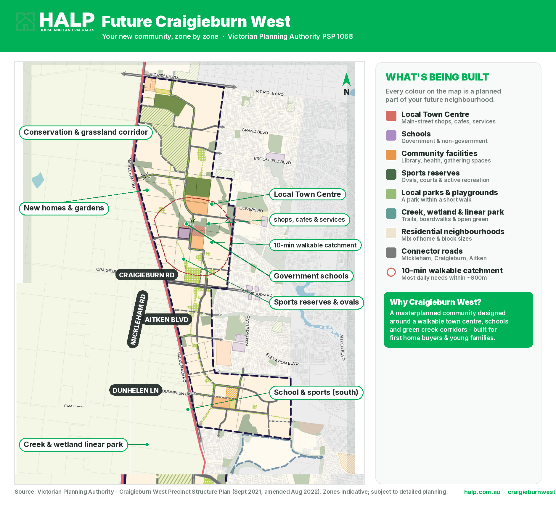
Delivered at approximately 20 dw/ha across the precinct.
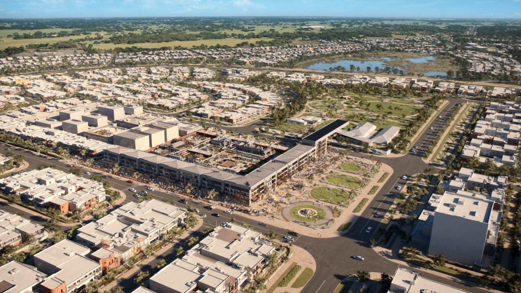
Anchor retail, cafés and services within walking distance of most neighbourhoods.
Government and non-government primary/secondary sites planned inside the precinct.
Protected native vegetation and biodiversity offsets integrated into the plan.
A connected network of parks, wetlands, playgrounds and shared-user paths.
Designed for a young, family-first demographic — see the Market page for detail.
Indicative delivery timeline
- Stage 1 · Year 1–3Enabling works
Roads, water, power and rezoning.
- Stage 2 · Year 3–5First homes
Initial land releases and turnkey packages settle.
- Stage 3 · Year 5–7Town centre
Retail, services and community facilities open.
- Stage 4 · Year 7–9Maturing community
Schools, parks, sporting fields and infill delivery.
Source: Victorian Planning Authority — Craigieburn West PSP (PSP 1068). Sequencing indicative only.
Read the plan straight from the source.
Gazetted 21 January 2022 (Amendment C246, Hume); updated 18 November 2022 (C264).
PSP documents are published by the Victorian Planning Authority. HALP links to the official source and does not host or alter them.